
In late August 2026, the construction schedule for the Bulak Kapal flyover in Bekasi Timur moved again. The previous target was September; it is now late October 2026, because land acquisition has not finished. Before that, the target on the board was July 2026.
For someone weighing up a house, a shifting road-project date sounds like somebody else's news. But that flyover is not a standalone project. It is the precondition for permanently closing a railway crossing in Bekasi Timur. And the direction of that closure is not a local aspiration. It is a statutory instruction that has been on the books for 19 years.
The law already named the destination
Law Number 23 of 2007 on Railways, Article 91 paragraph (1), is short: intersections between a railway line and a road are built not at the same grade. Road and track are not supposed to meet at the same level. The remedies are a flyover, an underpass, or a rerouted road.
Paragraph (2) leaves room for exceptions, but the room comes with a condition attached: an exception may only be made while the safety and smooth running of both rail and road traffic remain guaranteed. So the crossings we use every day stand on the exception, not on the main rule.
Article 94 is firmer for one category. Paragraph (1): level crossings without a permit must be closed. Paragraph (2): that closure is carried out by the central or regional government. There is no clause about waiting for a replacement road.
As for who executes it, Minister of Transport Regulation PM 94 of 2018 on Improving Level Crossing Safety splits the duty by the class of road that crosses the track, not by who owns the track.
| Status of the road crossing the track | Responsible authority |
|---|---|
| National road | Minister of Transport |
| Provincial road | Governor |
| Regency or city road | Regent or mayor |
This is where buyers tend to knock on the wrong door. The answer to "when does this crossing close" does not sit with the rail operator. It sits with whoever administers the road.
Why 2026 accelerated everything
Two separate pressures happened to land in the same year.
The first was the collision at Bekasi Timur station on 27 April 2026, involving a long-distance service and a commuter line service, which killed 16 people and injured dozens more. After that, handling level crossings along the Bekasi corridor rose to a national priority discussion.
The second is the double-double track (DDT) programme. The Jatinegara to Bekasi segment is already operating. The Bekasi to Cikarang segment is not: as of April 2026 it was still at the Detail Engineering Design review stage, with construction directed to begin in 2027 and completion targeted for 2029.
The consequence is simple and unavoidable. More tracks means a denser timetable, and a denser timetable means a narrower window for vehicles to cross. The head of the Bekasi City Highways and Water Resources Agency (DBMSDA), Idi Sutanto, has placed the DDT effect as the number one challenge: eventually those crossings have to close, because train schedules keep tightening.
Cost is why the closures cannot happen all at once. The chair of Commission V of the House of Representatives, Lasarus, cited roughly Rp 400 billion to make a single crossing on the Bekasi–Cikarang line grade-separated. For the ten unpermitted crossings on that line alone, the arithmetic reaches around Rp 4 trillion.
What is being built, and how far along it is
Bekasi City has two pieces of work tied directly to this.
The Bulak Kapal flyover. It runs 768 metres between Jalan Joyo Martono and Jalan Pahlawan and needs roughly 10,637 square metres of land. Acquisition touches 73 households spread across three urban villages: Margahayu, Duren Jaya and Aren Jaya. The project is valued above Rp 360 billion, supported by Rp 200 billion in Presidential Aid and Rp 20 billion from the West Java provincial government. The city government has said the level crossing in the Ampera area of Bekasi Timur will only be closed completely once this flyover is finished.
The Duren Jaya underpass. It sits on Jalan Nonon Sonthanie in Duren Jaya urban village, Bekasi Timur district, on land belonging to Perum Jasa Tirta. Work is still at the early roadbed stage, and its stated purpose is to anticipate crossing closures caused by rising train frequency.
So the sequence is plain: the closure waits on a replacement, and the replacement's own schedule is still moving. Until those two lines meet, the gap between them is carried by daily road users.
How to check your own route
This check needs no documents from anybody. It needs a map and one trial run at rush hour.
- Open a digital map, pin the house you are considering, then pin the three destinations you travel to most: work, the children's school, and the nearest station or toll gate.
- Draw the route to each one and watch for a single thing: does it cross the railway line?
- If it does, note the crossing point. Check its status on the ground: barrier and attendant, or just an opening residents have worn in.
- Look for an alternative route that avoids the track entirely. Measure the time difference. That difference is your actual risk, not the closure itself.
- Drive it yourself at 7am and 5pm on a weekday. A map does not count the queue in front of the barrier.
Step four is the one most often skipped. A house whose main route crosses the track but has an equivalent alternative sits in a very different position from one whose alternative adds a 20-minute detour. We have worked through how to read a road project that may or may not materialise, using a different case, in our note on the Mukhtar Tabrani parallel road plan.
Worth asking the seller or developer
- Does the main route into this estate cross the railway line?
- If it does, is the crossing permitted and staffed, or an unpermitted opening?
- How many ways in and out does the estate have, and do all of them depend on the same single point?
- Is the road in front of the estate a city, provincial or national road? That status decides who residents go to if something changes.
The third question is general rather than rail-specific. An estate with a single access point is always more fragile to any disruption, whether that is a crossing closure, drainage repairs or roadworks. We applied the same logic when reading a flood control project in our note on the stalled Kali Bekasi levee and when tracing water channels in the clearing of buildings over drainage lines.
Note: this article is educational and general. The status of a crossing, project schedules and budget figures can change at any time. For a location you are actively considering, confirm with the Bekasi City Transport Agency and the Highways and Water Resources Agency before making a decision.
If you are looking at landed housing in Bekasi Utara
One thing is worth separating out early: exposure is decided by whether your daily route crosses the track, not by the name of the district.
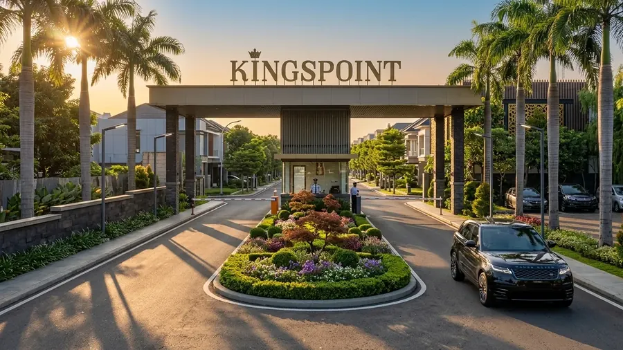
The crossings currently on the replacement agenda in Bekasi City sit on the Bekasi Timur side, namely the Bulak Kapal corridor and the planned underpass on Jalan Nonon Sonthanie in Duren Jaya. A house whose daily routes stay entirely on the northern side of the line does not depend on either point. Kingspoint Private Residences sits on Jl. Raya Perjuangan in Bekasi Utara, roughly 5 minutes from Bekasi Station and about 10 minutes from the Bekasi Barat toll gate.
So for a buyer comparing several locations, the question is not "is this estate close to the station". It is "to get there, do I have to wait for a train to pass". Two estates can both read as five minutes on a map and behave very differently at rush hour. We have set out the modes and travel times in our comparison of the LRT Jabodebek and the KRL from Bekasi Station.
Want to check the access routes first?
The Kingspoint team can walk you through the roads into the estate and the travel times to Bekasi Station and the Bekasi Barat toll gate for ready stock Emerald 70 units on Jl. Raya Perjuangan, Bekasi Utara.
Chat on WhatsApp