
On Monday, 24 August 2026, excavators operated by the Bekasi City administration levelled 40 unpermitted buildings along Kali Harun in Kelurahan Jatirahayu, Kecamatan Pondokmelati. The city's Spatial Planning Office (Distaru) carried out the demolition as part of a channel normalisation programme aimed at restoring the water space from 1.5 metres back to 4 metres. The cleared strip is earmarked for green open space and a pedestrian path.
One detail in that report rarely reaches conversations between buyers and sellers: six of the buildings in the clearance zone hold certificates, and their legality is now being verified by the National Land Agency (BPN).
That is what makes this more than a story about heavy machinery. If a certificate can sit inside a drainage clearance zone, then the question buyers habitually ask ("what sort of title does it have?") turns out to cover less ground than they assume.
Three clearances in one month, across two administrations
Kali Harun was not an isolated case. August 2026 saw three separate operations under two different local governments, all turning on the same problem: structures standing in space the water needs.
| Location | Count | Status |
|---|---|---|
| Kali Harun, Kel. Jatirahayu, Kec. Pondokmelati (Kota Bekasi) | 40 buildings | Demolished 24 August 2026 by Distaru Kota Bekasi; channel width restored 1.5 m → 4 m |
| Kali Cikarang Bekasi Laut (CBL), Kec. Tambun Utara and Kec. Sukawangi (Kabupaten Bekasi) | 32 buildings (20 in Tambun Utara, 12 in Sukawangi) | Cleared mid-August 2026 to support normalisation and riverbank redevelopment |
| Jl. Tanafit channel, Kel. Pejuang, Kec. Medan Satria (Kota Bekasi) | Around 80 buildings | Clearance announced 2 August 2026; channel runs roughly 500 metres |
The Pejuang case shows the shape of the problem most clearly. Structures there extend about 13 metres from the road edge and cover the channel bed, so household wastewater stops moving and pools black and foul in the neighbourhood. Bekasi Mayor Tri Adhianto, who visited the site after residents complained, said the administration would "accelerate the clearance process in line with procedure so that normalisation can be carried out promptly".
Why the gap between 1.5 and 4 metres decides things
A channel behaves like an open pipe: its capacity comes from its wetted cross-section. When the effective width shrinks to a third of the design figure, the volume it can carry falls with it. In ordinary rain the difference goes unnoticed. In a downpour lasting hours, the surplus water has to go somewhere, and that somewhere is the housing on either side.
So flooding often begins not with the rain over your roof but with a constriction somewhere along the discharge route, sometimes hundreds of metres away. We have separated the mechanics of water arriving from upstream and water that cannot leave your own neighbourhood in upstream flooding versus local flooding.
The wet season across Greater Jakarta usually begins around November. This run of August clearances reads as an effort to beat that deadline, which also means buyers targeting a signing this quarter still have time to run the same checks themselves.
A certificate describes your right, not your position
Those six certificated buildings at Kali Harun deserve a careful reading, and not as an accusation against their owners: BPN is still verifying the status, so no finding exists yet. What can be taken from it now is one procedural lesson. Ownership documents and the physical position of a structure relative to a channel are checked through different paperwork.
A certificate sets out a right over a parcel of land and its boundaries. A drainage clearance turns on whether a structure stands in space the spatial plan allocates to water. Checking one document without the other leaves a gap, however small that gap becomes for a house inside a planned estate.
For a house in a planned estate the risk is far lower, because estate drainage is built as part of an approved siteplan. What still repays checking is where that estate channel discharges to, and what happens along that route beyond the gate.
Five things you can check yourself before signing
- Follow the water, not just the gutter out front. Trace where water from the site flows until it meets a main channel or river. A clean gutter at the front door means nothing if the route closes up 300 metres on.
- Look for the pinch point. Watch for any stretch where the channel suddenly narrows, disappears under permanent slabbing, or carries a building on top. That point governs the capacity of the entire route.
- Visit in the rain, or ask someone who was there. A dry weekday viewing tells you nothing. Local neighbourhood administrators usually remember exactly where the water stood last wet season, and how high.
- Check zoning and area redevelopment plans. Confirm with the relevant agency in Kota or Kabupaten Bekasi, depending on where the property sits. We set out the steps and data sources in checking RTRW land-use zoning in Bekasi.
- Compare the site's level against the road and the channel in front of it. A house whose floor sits below the road surface takes water first, no matter how good the estate drainage is.
The fuller investigative method, including how to dig up a location's flood history without relying on the seller's account, is in how to check a property's flood history before buying.
What to ask the seller or the sales team
Useful questions are specific and verifiable. A few worth putting before you sign anything:
- Where does the estate channel discharge to, and along what route?
- What is the floor level of the unit relative to the estate road?
- Is there a retention pond or holding point inside the estate?
- Who maintains the estate drainage after handover, and which cost line covers it?
That last one routinely goes unasked until the first wet season arrives. How maintenance responsibility divides after handover is covered in resident rights and obligations in a cluster, and the effect of a flooding history on resale value in how flooding affects property value.
Note: this article is general and educational, not legal or engineering advice. Clearance figures are drawn from news reporting and official local-government statements as of August 2026, and the status of any given property can change. For a specific location, confirm directly with the relevant agency in Kota or Kabupaten Bekasi.
If you are looking at a planned estate in Bekasi Utara
The same checks apply, with the emphasis moved. In a planned estate the drainage forms part of an approved siteplan, so what matters is how the estate connects to the wider drainage system outside it, and what level the units sit at.
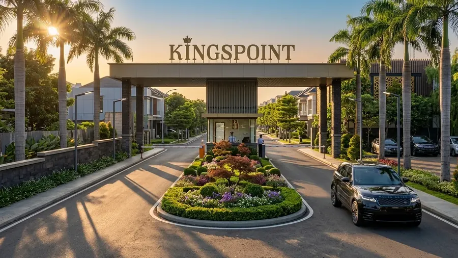
Kingspoint Private Residences sits on Jl. Raya Perjuangan in Bekasi Utara, in an area that has stayed clear of flooding, with the two-storey Emerald 70 house (land 47.25 m², building 70 m²) and the three-storey Sapphire shophouse with rooftop. Two figures are worth asking for when you visit: the floor level of the unit against the estate road, and the discharge route of the estate channel.
Want to see the drainage route and site levels?
The Kingspoint team can walk you through the estate drainage route, unit floor levels against the estate road, and the Emerald 70 siteplan on Jl. Raya Perjuangan, Bekasi Utara.
Chat on WhatsApp