
There's one figure from how Kali Bekasi is managed that few homebuyers ever look at: when heavy rain falls in the highlands around Bogor and Cikeas, the water needs several hours to flow downstream and reach Bekasi. So flooding downstream often shows up when the local weather has already cleared. This is what Indonesians call banjir kiriman, upstream-sent flooding, and its mechanism is nothing like the flooding most of us picture.
Most home-buying advice boils down to one tip: ask the neighbours whether the place has ever flooded. That tip is right, but it isn't enough, because the question doesn't separate two kinds of flooding that come from different sources. So before you judge a plot, it helps to know where the water is coming from first.
The core difference: local flooding comes from above, rainwater that falls on the spot and can't drain away. Upstream flooding comes from the side, river water overflowing from the highlands. One location can be safe from one and exposed to the other, so you have to read each one separately.
Local Flooding: Rainwater With Nowhere to Go
Local flooding, the kind people often just call puddling, happens in the same place the rain falls. The cause is almost always drainage: channels that are too small, culverts clogged with rubbish, or ground that sits lower than the road so water pools and never flows out. One hard hour of rain is enough to trigger it.
It's easy to recognise. The water rises fast the moment rain falls, then recedes fairly quickly once the rain stops, as long as the channels still work. The puddling tends to stay in the low points: a particular junction, a dip in an alley, or a yard sitting below the road surface. This is small-scale water management gone wrong, not a river spilling over.
Because the cause is local, this kind of flooding is also more manageable at the neighbourhood level. A housing cluster with wide channels, infiltration wells, and ground contoured so water runs toward a discharge point carries far less puddling risk than a settlement that grew with no drainage plan at all.
Upstream Flooding: Water That Comes From Far Away
Upstream flooding runs on entirely different logic. Its source is rain in the upstream catchment, far from the house itself. That rainwater collects in higher ground to the south, then flows down through rivers and tributaries toward the Bekasi lowlands. Kali Bekasi itself forms where flows carrying water from the Bogor and Cikeas direction meet, so conditions upstream decide the volume downstream.
That's why the time lag is its signature. Heavy rain upstream in the afternoon can push river levels up in Bekasi toward midnight or the early hours, even though not a single drop fell at the location. Plenty of riverside residents get caught off guard because the water rises under a clear sky, and that's exactly where the danger sits: the natural warning sign isn't in the sky overhead, it's upstream, out of view.
Upstream flooding also tends to be bigger and slower to recede. What overflows isn't a few centimetres of rainwater but the river itself, carrying volume from a wide catchment. The worst-hit areas are riverbanks and low-lying ground whose elevation sits close to the river level at peak flow.
| Aspect | Local Flooding | Upstream Flooding |
|---|---|---|
| Water source | Local rainfall | Rain in the highlands (Bogor, Cikeas) |
| Trigger | Poor drainage, clogged channels | Kali Bekasi and its tributaries overflowing |
| When it appears | While the rain is falling | Hours after upstream rain, often on a clear day |
| Main risk driver | Quality of area drainage | Distance to the river and land elevation |
How to Read a Location's Risk
Since these two kinds of flooding come from different sources, you have to read them separately too. Here are four things you can check yourself before deciding to buy, from the quickest to the ones that take a little more effort.
1. Check the distance to Kali Bekasi and its tributaries
Open a digital map, find the plot, then measure its distance to the nearest river body. Not just the main Kali Bekasi, but also the tributaries and large channels that feed into it. The farther away and the more clearly out of the river's overflow path, the less exposed you are to upstream flooding. A location separated from the bank by a main road or an embankment is usually better protected.
2. Read the land elevation, not just the visual impression
The eye often misjudges height. Use the elevation feature in digital maps or a contour map to compare the plot's height against the road surface and the riverbank nearby. A difference of just one to two metres already matters a lot when the river level climbs. Land sitting on higher ground relative to the river is far harder for upstream water to reach.
3. Open the local BPBD flood-prone area map
The Bekasi City and Regency disaster management agency (BPBD) publishes flood-prone area data mapping the recurring puddling and overflow points. The map helps separate areas with structural risk (near the river, frequent upstream flooding) from those with mere seasonal puddling. Match your target location against it, and if you're unsure, ask the local kelurahan or RW office directly about the record over recent years.
4. Trace the upstream catchment
This is the step people skip most, even though it matters most for upstream flooding. Look on the map at where the river running near your location originates. If its upstream area has high land-use conversion and declining absorption, the volume it sends down tends to be larger in the rainy season. A location that isn't on the main flow path from the highlands holds a safer position.
Why North Bekasi's Elevation and Drainage Matter
This is where the context of North Bekasi, specifically the Jl. Raya Perjuangan corridor, becomes relevant. The area sits on a side where elevation is relatively preserved and doesn't hug the bank of Kali Bekasi, so direct exposure to river overflow from upstream is smaller than in settlements built right at the water's edge. For a city-wide sense of things, the area around activity hubs like Summarecon Mall Bekasi and Stasiun Bekasi is busy, but every micro-location still needs to be read point by point, not as an average.
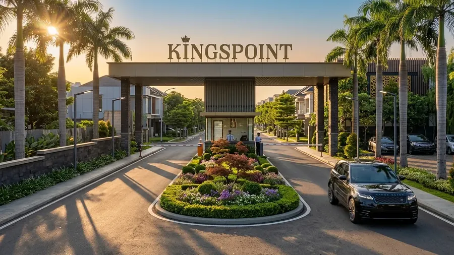
What makes a cluster more resilient isn't one factor but the combination. Rumah Emerald 70 at Kingspoint Residence, for instance, sits in an area the developer states is flood-free, with a site plan that accounts for elevation and drainage routes from the planning stage. Elevation keeps upstream flood risk down, while well-designed drainage keeps local flood risk down. Both need to be present together, because high ground with poor channels can still flood from its own rainwater.
A practical note: don't settle for the answer "it's never flooded". Ask more specifically. Has there been puddling during heavy local rain? Has water ever risen on a clear day while it was raining upstream? Those two questions filter local and upstream flooding apart.
If you're putting together a location checklist, these two reads round out the discussion here: our guide on how to check a property's flood history before buying for the basic verification steps, and the investigative method for tracing a location's flood history for deeper digging. This article focuses on the mechanism; those two focus on how to gather the evidence.
Common Questions
What is the difference between upstream flooding and local flooding?
Upstream flooding (banjir kiriman) is runoff sent down from the highlands, for example around Bogor and Cikeas, flowing through rivers like Kali Bekasi and arriving hours after heavy rain upstream, sometimes while the weather at your location is clear. Local flooding comes from local rainfall that has nowhere to drain because of poor drainage, so the puddling happens in the same place the rain falls.
How do you check upstream flood risk before buying a home?
Check the distance to Kali Bekasi and its tributaries, look at land elevation relative to the bank using contour maps or the elevation feature in digital maps, read the local BPBD flood-prone area map, and understand where the site sits relative to the upstream catchment. A site that is far from the bank, on higher ground, and not in a river overflow path carries lower risk.
Does high elevation guarantee a flood-free location?
Higher elevation reduces upstream flood risk, but it doesn't automatically make a place safe from local flooding. Local puddling can still happen if drainage inside the area is poor. Ideally a location has three things at once: a safe distance from the river, adequate elevation, and a well-designed drainage system.
Want to confirm a location's elevation and flood-free status?
The Kingspoint team can explain where Rumah Emerald 70 in North Bekasi sits in terms of area elevation, drainage routes, and its distance to the nearest river flow. Ask first, free, no pressure.
Ask the Kingspoint Team