
That map is the Protected Rice Field map, known locally as Lahan Sawah yang Dilindungi, or LSD. The Ministry of Agrarian Affairs and Spatial Planning set it through Minister of Agrarian Affairs/Head of the National Land Agency Decision No. 1589/SK-HK.02.01/XII/2021, dated 16 December 2021, covering eight provinces at once: West Sumatra, Banten, West Java, Central Java, Yogyakarta, East Java, Bali, and West Nusa Tenggara. The combined area is 3.83 million hectares.
West Java is on that list, and Bekasi sits inside West Java. So plots here are mapped, including plots that stopped looking like rice fields years ago.
The subject came back into circulation on 26 August 2026, when national property desks published fresh explainers on what may and may not be done on LSD land. For anyone weighing a bare plot on the edge of Bekasi, the timing is useful.
What changed in 2026?
The umbrella rule was replaced. The government issued Presidential Regulation No. 4 of 2026 on the Control of Rice Field Conversion, superseding Presidential Regulation No. 59 of 2019.
Two parts of it reach a buyer directly. First, the duty to establish a plot's status before the transaction and before any build plan is drawn. Second, a firmer route for changing land use inside an LSD area: that change requires a recommendation from the Minister of Agrarian Affairs, so it is not something a regional office can settle on its own. The regulation also sets up an inter-ministerial team led by the Coordinating Minister for Food to propose LSD maps to the minister handling land affairs, within 21 calendar days.
Which means the LSD map is not a document sitting still. Its boundaries get re-verified, and a plot's status can move.
Why checking RTRW alone falls short
Because the two maps come from different desks. The RTRW is drawn up by the regional government; the LSD map is set centrally by ministerial decision. Both describe the same plot, and they do not always describe it the same way.
That mismatch is not an outside allegation. The ministry itself listed it among the reasons the LSD designation needed refining: LSD that did not align with spatial plans, LSD plots that already had buildings standing on them, National Strategic Projects landing on top of LSD, and errors in map interpretation.
| RTRW map | LSD map | |
|---|---|---|
| Who sets it | Regional government, by local bylaw | Minister of Agrarian Affairs, by ministerial decision |
| What it describes | Intended land use: residential, industrial, commercial, agricultural | The boundary of rice fields whose function is preserved |
| Coverage | One regency or city | Eight provinces in a single decision, West Java included |
| Effect if your plot is inside | Determines which permits the region can process | Locks conversion; a change needs a ministerial recommendation |
| Usually in the seller's file? | Often, as a zoning statement | Rarely. You have to look it up |
The gap is where the trouble sits. A plot can read residential in the regional statement while the central map still draws it as protected rice field. Until the two statuses are reconciled, reading one map leaves a blank that only surfaces after the money has moved.
How to read the RTRW side is covered separately in our guide to checking zoning and land use under the Bekasi RTRW. This piece fills in the other layer.
If the plot is inside LSD, what is off the table?
The principle fits in one sentence: a plot designated as LSD keeps its agricultural function. It cannot be turned into housing, a commercial area, or industrial use.
There is a way out, but it is a narrow one. A change of land use inside an LSD area is possible through the prescribed mechanism with a recommendation from the Minister of Agrarian Affairs, and the assessment weighs spatial-plan alignment, the actual condition of the land, and environmental plus socio-economic impact. Presidential Regulation 4/2026 also refers to administrative sanctions.
The exposure sits heaviest on buyers of bare plots and inherited land who plan to build themselves, not on buyers of finished houses in permitted estates. That is where LSD status decides whether a build plan has a route or stalls at the permit desk.
There is a second effect that gets less airtime: supply. When candidate development plots are locked as LSD, the pool of buildable land shrinks, and that reaches all the way through to unit availability. We looked at that through the subsidised-housing lens in our note on subsidised housing delivery stalling over rice-field land.
How to check it yourself, free
A first-pass check needs no consultant. The ministry publishes its parcel map through the BHUMI application, and the LSD layer is shown there.
- Open bhumi.atrbpn.go.id in a browser. No account, no fee.
- Enter the map view and accept the terms of use if prompted.
- Type the address or place name of the plot into the search box and press enter.
- Zoom in until the parcel is clearly visible. Search pins often land tens of metres off, so cross-check against a landmark you know on the ground.
- Switch on the information layers, then look at whether the parcel falls inside the LSD delineation.
- Save the screenshot together with the coordinates and the date you checked.
A BHUMI result is a screening tool, not a basis for a transaction. For certainty, the status needs confirming at the local Land Office, ideally through the notary or land deed officer handling your purchase. Using the other official channel to verify a parcel's legal standing is covered in our guide to checking land legality through Sentuh Tanahku.
What to ask the seller or developer
Four short questions, and the answers separate land that is ready from land that still has homework:
- Is this parcel inside or outside the LSD delineation? Ask for the map reference, not a verbal assurance.
- If it is outside, since when and on what document? The delineation has been revised, so the date matters.
- How far along are the estate's land permits, and in whose name was the master certificate issued?
- How many parcels here have already been split out into individual unit certificates?
The fourth looks off-topic and is the one that settles it. An estate whose master certificate has been split and whose houses are standing had its land permits cleared long before you arrived. The document order and what it means for your signing date are laid out in our note on splitting the master certificate.
Note: this article is general and educational, not legal or land-registry advice. The LSD status of a parcel is set, and can be revised, by the Ministry of Agrarian Affairs. For the parcel you are considering, confirm with the local Land Office and with a notary or land deed officer before signing anything.
If you are looking at a landed house in Bekasi Utara
LSD risk attaches most strongly to raw land. Once you are buying a unit in an estate that is already built, already served by roads, power, and water, the question shifts: no longer "may this be built on", but "when does my unit certificate issue, and in whose name".
So for a buyer of a finished landed house, the two documents worth asking for early are the estate's land-permit record and the status of the master certificate split. Those two answer the LSD question along the way, because an estate with complete permits and split parcels has already passed through that filter.
Want to see the land documents before weighing the unit?
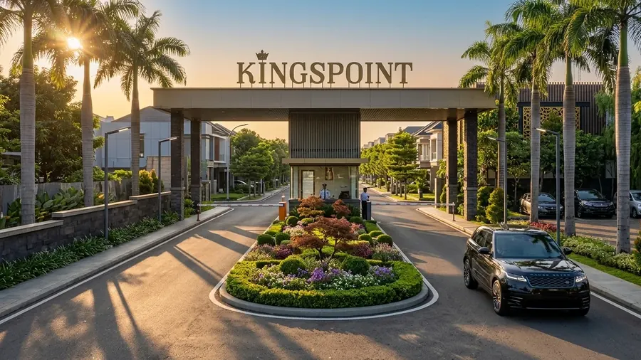
The Kingspoint team can walk you through the estate's land-permit status and certificate split for the ready-stock Emerald 70 units on Jl. Raya Perjuangan, Bekasi Utara.
Chat on WhatsApp